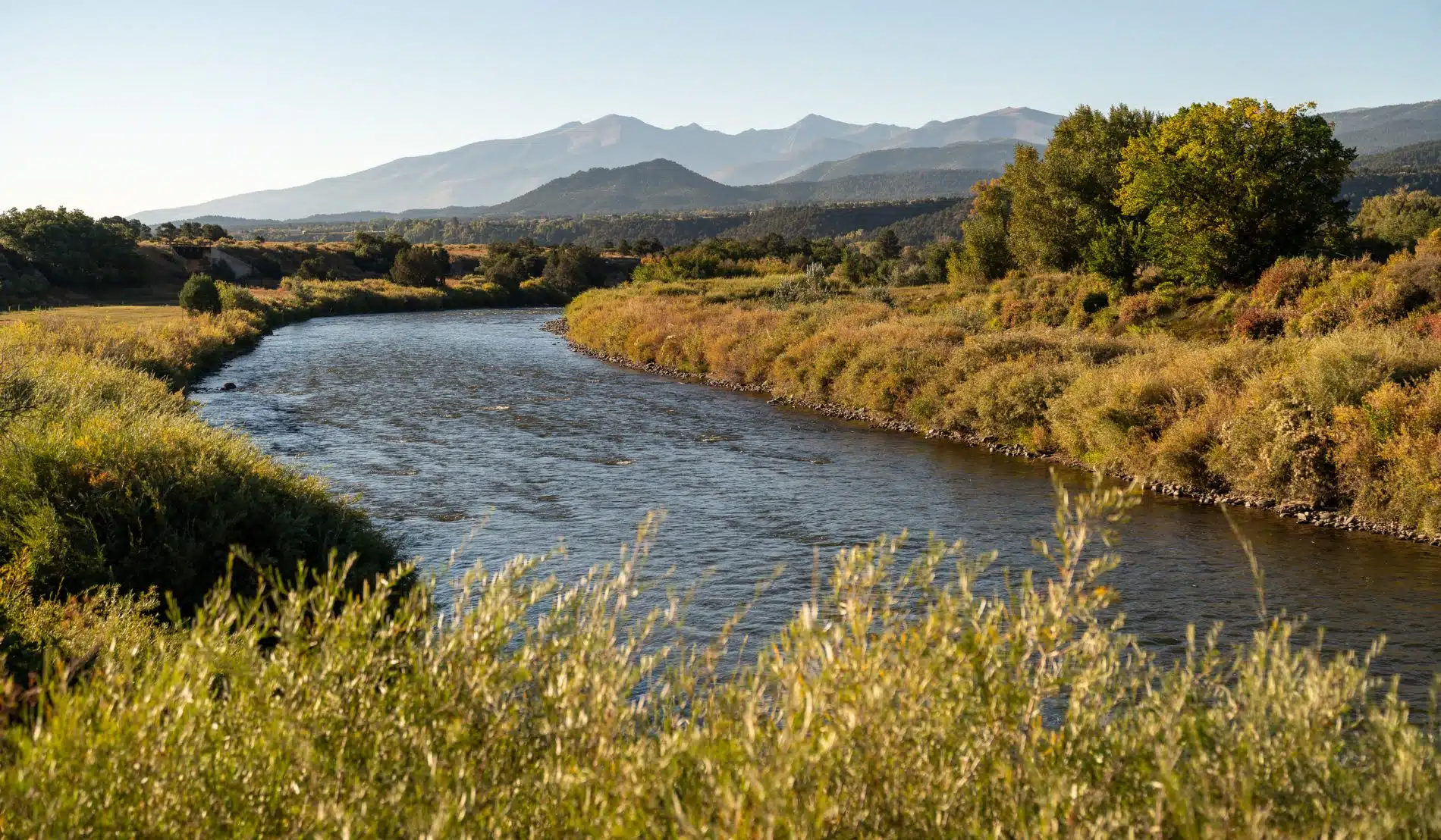
Western Fremont County
“In the 1860s, the route from Cañon City to the Upper Arkansas River followed Indian trails, and Joseph Lamb was one of the hardy and adventuresome individuals that packed burros and made the journey.
Fremont County improved the trail in 1872, creating a road that stagecoaches could travel between Cañon City and Poncha Springs. However, the new wagon road still went from Cañon City to Texas Creek then dropped down to Pleasant Valley at Coaldale.
By 1873, freight wagons, stagecoaches, and horses used the dust path alongside the river to take supplies to the growing mining towns. Horse and buggy, freight wagon, and stagecoach faded into memory as the bicycle and automobile came into their own during the early 1900s.
Later, the decision was made to shorten the route by going through the “Grand Canyon of Arkansas,” now called Big Horn Sheep Canyon. Even though convict labor performed the work, the project cost the county $50,000 and the state $100,000. The highway was completed in County improved the trail in 1872, creating a stagecoach road between Cañon City and Poncha Springs. However, the new wagon road still went from Cañon City to Texas Creek before dropping down to Pleasant Valley at Coaldale. By 1873, freight wagons, stagecoaches, and horses used the dust path alongside the river to take supplies to the growing mining towns.
Horse and buggies, freight wagons, and stagecoaches faded into memory as the bicycles and automobiles came into their own during the early 1900s. Later, the decision was made to shorten the route by going through the “Grand Canyon of Arkansas,” now called Big Horn Sheep Canyon. Even though convict labor performed the work, the project cost the county $50,000 and the state $100,000. The highway was completed in September 1915 and designated the “Rainbow Route.” In 1927, the Federal Government requested that all interstate roads be designated as U.S. highways, and the Colorado Highway Department renamed the Rainbow Route U.S. Highway 50.
The following list highlights just a few of Western Fremont County’s many unique areas and features worth exploring.
Parkdale
The Parkdale area had a school, a store, and other buildings during the early 1900s. The railroad serviced the old Feldspar processing plant, which is on the north side of the river.
Harvey Bridge
Harvey Bridge provides access to the Old Harvey Ranch and Cactus Mountain where Zebulon Pike climbed out of the Gorge to see the plains and beyond in 1806. The ranching community was anchored by the water available from the mountain streams and Arkansas River for their livestock.
Spike Buck
At mile marker 262 in the Arkansas River Headwaters Recreation Area, there is a rest area and river access for great fishing and rafting. Bighorn Sheep are sometimes seen in this area, while the rapids at this particle point in the river are considered Class IV at high water.
Texas Creek
At mile marker 253, the Denver and Rio Grande Western Railroad had a huge wooden trestle that crossed the river and highway from 1912 to 1937. This spur carried mining equipment and goods to Silver Cliff and Westcliffe and brought ore from the mines back to the smelters at Cañon City and Florence. The route was flooded out several times and abandoned in the 1930s. Today, four-wheeling, camping, hunting, fishing, and hiking are available to the north.
Colorado Highway 69
Highway 69 joins Hillside, Westcliffe, and Silver Cliff in Custer County and is considered one of the most scenic and inspirational roads in Colorado. The Hillside Grange No. 399, located 10 miles south of Cotopaxi on CO-69, is on the Colorado Register of Historic Places. Built-in 1926 with volunteer labor, the building features clapboard siding, which is typical of such structures. An outgrowth of the National Grange organized in 1867 as an agricultural fraternal organization, the Grange movement in Colorado began in 1873. Grange halls became social centers, hosting dinners, dances, weddings, and cultural events.
Colfax
The first agricultural ethnic colony in Colorado was settled by Germans in the Wet Mountain Valley in 1869 in what was then Fremont County. The group was organized in 1869 by Civil War General Carl Wulsten to aid impoverished German families who chose to leave the factories of Chicago. It was called the “Colfax Agricultural and Industrial Colonization Company of Fremont County.”Named in honor of Vice President Schuyler Colfax, who helped arrange government assistance and transportation, it helped 367 people in over 100 families, who arrived in the Wet Mountain Valley in March of 1870. The company lasted six months before dissolving due to crop-destroying early frost, mismanagement of funds, internal strife, and the failure of a Homestead Act amendment that would have allowed groups to file rather than individuals.
Sand Gulch
Mile marker 255 marks the homestead of the McCoy family, a group of desperados from the 1920s and 1930s. The area is open enough for the mountains to the south and Fernleaf Gulch to the north to be visible.
Cotopaxi
Cotopaxi is 30 miles west of Cañon City on Highway 50. In the 1880s, it was served by the Denver & Rio Grande Railroad, had a population of about 200 residents, and was the site of a mine owned by Emanuel H. Saltiel. In 1882 about 70 Jewish immigrants escaping Czarist Russia arrived in the community; the result of a proposal Saltiel had made to the Hebrew Immigration Aid Society for the development of the agricultural colony near his mine. The group, under pressure to get resettled, accepted the proposal in haste without completing their due diligence.
In 1882, 70 Jewish immigrants escaping Czarist Russia arrived in the community; the result of a proposal Saltiel had made to the Hebrew Immigration Aid Society for the development of an agricultural colony near his mine. The group, under pressure to get resettled, accepted the proposal in haste without completing their due diligence. Unfortunately, when the colonists arrived, only a few of the promised 20 houses had been constructed. Not to mention, they were unfinished, small, and unsuited to the climate. Promised agricultural supplies and equipment, wells, ditches, fences, and roads were also lacking. Due to the short 3-month growing season at 8,000’, the colonists rushed to get crops planted but had a poor harvest. Unprepared for the dry climate or the altitude, the farmers struggled through a second poor harvest, and in June 1884, the colony collapsed. A few of the immigrants worked briefly in Saltiel’s mine, while others worked for the D&RG railroad at twice the wage. Eventually, many left for the Denver area.
Today, the Cotopaxi Cemetery has a small fenced section of Russian Jewish Graves as a reminder of this period. It is located behind the Cotopaxi School just north of Highway 50 off County Road 12, which then joins the Ute Trail for a scenic drive to Salida.
The homesteaders who settled in the northern section of this area were called “nesters,” and the small community 20 miles up County Road 12 was called Nesterville.
Coaldale
Charcoal kilns were a major industry in Coaldale in the early 1900s and evidence of this can be seen at mile marker 240. A Gypsum quarry, worked since 1900, continues to be operated by Holcim, Inc. for its cement plant in Florence. There is also a historic school house ½ mile South on Hayden Creek Road in this ranching area.
Vallie Bridge
Vallie Bridge is the beginning point for the “Pathway into History” interpretive drive, which offers 12 signs that explain the significance of the road on the north side of the river. Sponsors for this interpretive journey include the Bureau of Land Management, Colorado State Parks, Western Fremont Historical Society, Greater Arkansas River Nature Association, and the Colorado Historical Society. Please note, that this is a dirt road and some areas may require high-clearance or four-wheel drive.
Pleasant Valley
Developed in the 1870s, Pleasant Valley had several homesteaders, a post office, and a school by 1882. There were several notable early homesteaders, including Sanford Amy, who arrived in Pleasant Valley in 1874 and built his homestead house in 1881 with soft bricks made from a local clay bed. The simple buttress construction provided a seven-room home with a home orchard that embraced the cottage.
William Stout, with his wife and three children, settled in Pleasant Valley in the fall of 1872. He first built a shelter high up Cherry Creek, then in the spring of 1873, constructed a log cabin, which served as the family’s home for 14 years. He was a respected and skilled dairyman.
Jonah Peregrine, an immigrant Welshman, came to Pleasant Valley in the spring of 1872 and built a cabin near the mouth of Howard Creek, then called Flint Creek. The agricultural income from his homestead provided a grubstake for his mining activities. Jonah was the first settler in upper Pleasant Valley.
Howard
Founded in the 1870s, Howard now has the old Howard Church, constructed in 1898, and the downtown Howard area. The Denver & Rio Grande Railroad reached the area in 1880. Badger Creek, one mile west of Howard, was a main artery to the north.
Swissvale
Swissvale was settled in hopes of it becoming a tourist spa, as it was built around hot springs. Swiss farmer Max Zeise settled here and operated a dairy.
Wellsville
By the early 1900s, Wellsville had hot springs, a swimming pool, a baseball park, and a boarding house. There was also a marble processing plant with limestone kilns across the river. These kilns were completely different than the “beehive” shaped Charcoal kilns that were built in other communities in the valley.
This material was contributed by Carol McNew, a member of the Fremont County Heritage Commission.