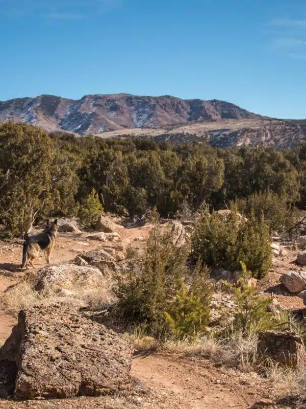
With so many miles of open space and an endless number of unique views, the Royal Gorge Region is ideal for horseback riding. Just a short distance from Cañon City, riding enthusiasts can easily access several horse-friendly trails. The following trails are recommended by the Bureau of Land Management.
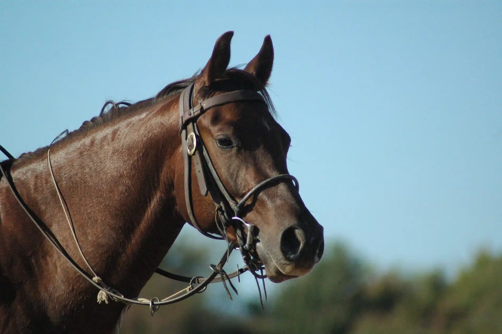
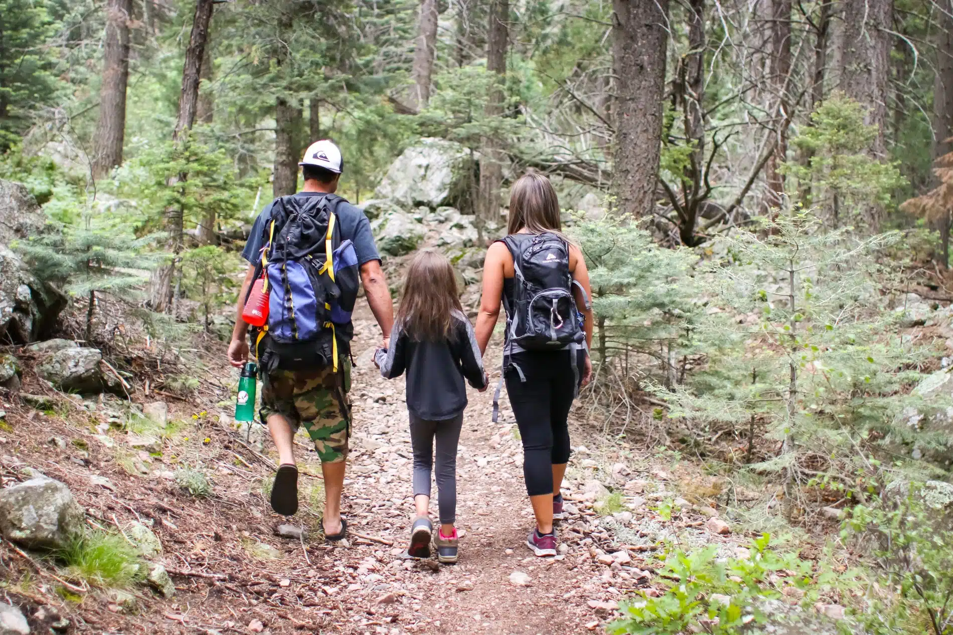
Don’t have your own horse? Not a problem. Several horseback riding outfitters are ready to take you into the wilderness.
Deer Haven
Thirty minutes north of Canon City is the Deer Haven area. This location offers trails through ponderosa pine forests and beautiful views of the Arkansas River Valley from Thompson Mountain. At an elevation of 8,000 feet, this area is good to visit in the summer months. Horseback riders will find a combination of singletrack trails and old roads that are now closed to motorized use.
Directions:
From Cañon City, travel west on U.S. Hwy 50 for approximately 10 miles turning north (right) onto CO Hwy 9. Travel 9 miles and then take a right onto County Road 11 (High Park Road). Go 5.3 miles and turn right onto the dirt County Road 69. Go 0.8 miles, turning right onto Thompson Mountain Road. After 0.7 miles you will come to the trailhead with a kiosk. The trails start from here.
Shelf Road
Located at the popular climbing area 30 minutes north of Canon City, Shelf Road offers a combination of roads and trails that welcome horses.
Oil Well Flats
Named for the first oil wells in the state, this area is just 10 minutes north of Canon City. It offers single-track trails and two-track roads that explore the interesting geology of the area.
Booger Red
This area is approximately 45 minutes north of Cañon City and offers stunning 360-degree views from high meadows. You will be traveling along single-track trails and old roads that are closed to motorized use. Here, you can also cross High Creek and connect with the Shelf Road trail system.
Lower and Upper Grape Creek Wilderness Study Area
Spanning a large portion of the Grape Creek watershed, these two WSAs are located near Cañon City and Westcliffe. The Lower Grape Creek WSA encompasses 11,220 acres of public land. The Upper Grape Creek WSA covers 10,200 acres. Within both WSAs are rugged peaks and inviting pools that provide a diversity of terrain. Access is limited to one trailhead at West Bear Gulch, approximately 10 miles south of Canon City, off Oak Creek Grade.
Beaver Creek Wilderness Study Area
This area is 10 miles northeast of Cañon City. It consists of more than 26,150 acres of steep, remote granite canyons that are valued for their wildlife and fish habitat. The primary trailhead is within the Beaver Creek State Wildlife Area at the end of Fremont County Road 132.
Directions:
From U.S. Hwy 50 in Cañon City, head south on 9th Street. Take a right on Elm and then a left on Oak Creek Grade. Follow this road for approximately 13 miles through the Wet Mountains and turn right onto Bear Gulch Road, following the signs to BLM access.
McIntyre Hills Wilderness Study Area
This area covers more than 15,910 acres in rugged country on the south side of the Arkansas River about 15 miles west of Cañon City. Access is limited on the southern boundary due to surrounding private land. The best access is in the drainages on the northern boundary off Highway 50. There are no developed trails within this area.