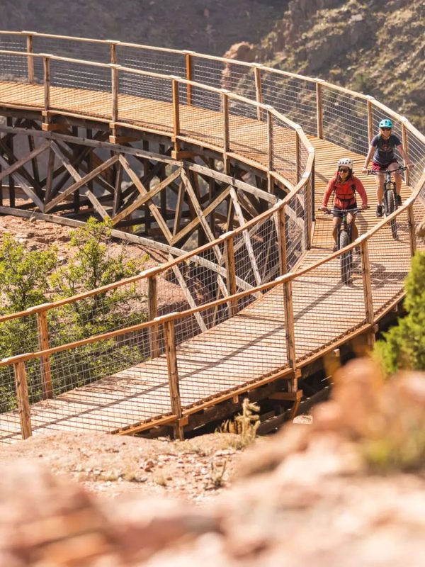
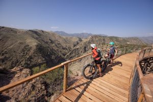
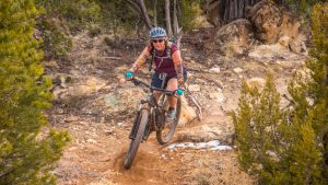
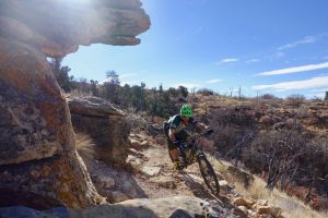
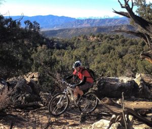
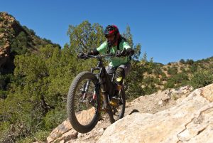
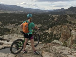
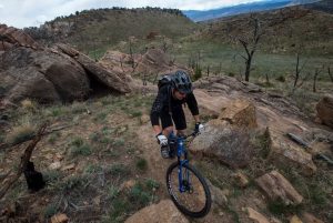
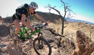
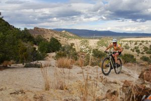
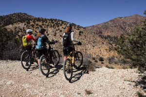
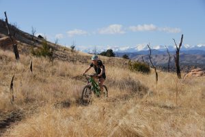
The Royal Gorge Region has earned the reputation of being a mountain biking mecca because of its numerous trail systems. From the classic Oil Well Flats to the Royal Gorge Trails System, there is a trail for every ability. Best of all, with the Royal Gorge Region’s mild year-round climate, bikers can find their bliss any month of the year.
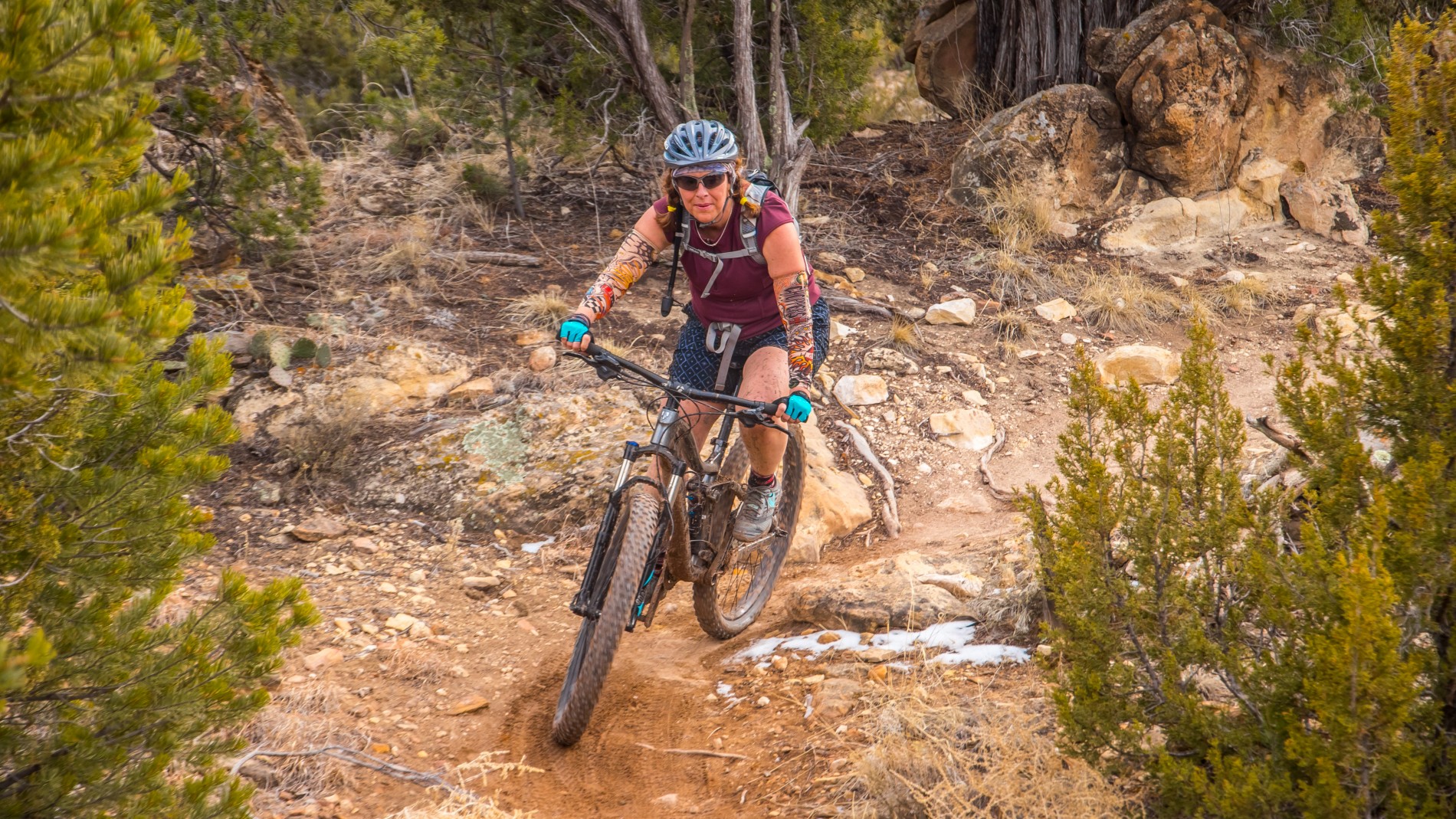
Mountain Biking
Royal Gorge Park Trail System
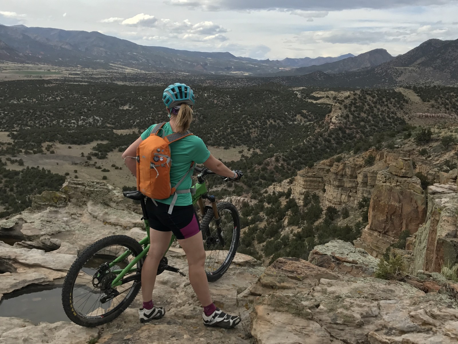
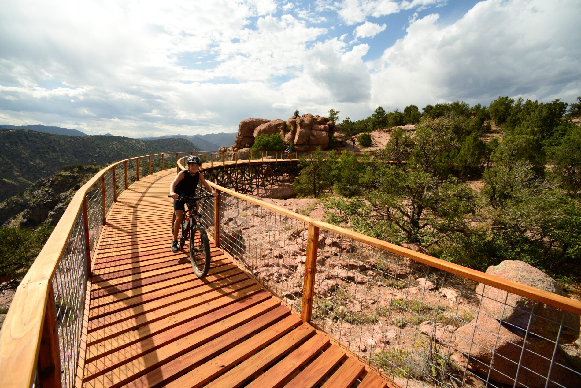
the Royal Gorge Park Trails System traverses the gorge’s rim and surrounding hills, giving hikers and mountain bikers over 17 miles of singletrack to explore and incredible views of the Sangre de Cristo Mountains and the Arkansas River as their backdrop.
Download the GPX file for Royal Gorge Park Beginner Route RWGPS | Download the GPX file for Royal Gorge Park Intermediate Route RWGPS | Download the GPX file for Royal_Gorge_Park_Advanced_Route RWGPS
South Canon Trail System
The South Cañon Trail System connects to the Section 13 trails and offers something for everyone. Discover flowy, easier trails close to town or try to master the technical climb of Hard Time. Since the Eagle Wing Trailhead isn’t very large, we recommend cyclists riding from town park at/near Centennial Park.
Download the GPX file for South Canon Trail Beginner Route RWGPS | Download the GPX file for South Canon Trail Intermediate Route RWGPS | Download the GPX file for South Canon Trail Advanced Route RWGPS
Oil Well Flats Trail System
In this recreational trail system, located 6.5 miles north of Cañon City, 13 miles of trails interconnect, allowing for a whole day of adventure. Riders and hikers delight in spectacular views of the Royal Gorge, the Arkansas River, and the Sangre de Cristo Mountain Range. Deep within the trail system, other scenic features include a 200-foot cliff of pitted Slickrock, a shaded patch of woods, and an old burn area that’s been transformed into a rolling prairie.
Download the GPX file for Oil Well Flats Beginner Route RWGPS | Download the GPX file for Oil Well Flats Intermediate Route RWGPS | Download the GPX file for Oil_Well_Flats_Advanced_Route RWGPS
Greenhorn Out and Back
3.2 miles out and back, this wide fine-crushed gravel trail connects with others in the area to broaden your experience. It’s family-friendly and great for beginners.
Download the GPX file for Greenhorn Out and Back RWGPS
Greenhorn to Graneros
1.6 miles on Greenhorn, a wider fine-crushed gravel trail that is family-friendly and great for beginners. Then connect with Graneros, a fun beginner’s trail that is flowy as it winds along the flank of the Dakota Ridge formation in the Hogbacks.
Download the GPX file for Greenhorn to Graneros RWGPS
River Walk Introductory Route
The Riverwalk Trail runs through some of the most scenic and historic parts of Cañon City. Along the trail, you’ll track the river’s course through the city, passing historic properties, open farmland, and cottonwood groves. The trail is a mostly flat, wide, maintained trail that is open during all seasons. A system of fitness stations has recently been added to the trail as well.
Download the GPX file for River_Walk_Introductory_Route RWGPS
Tunnel Drive Introductory Route
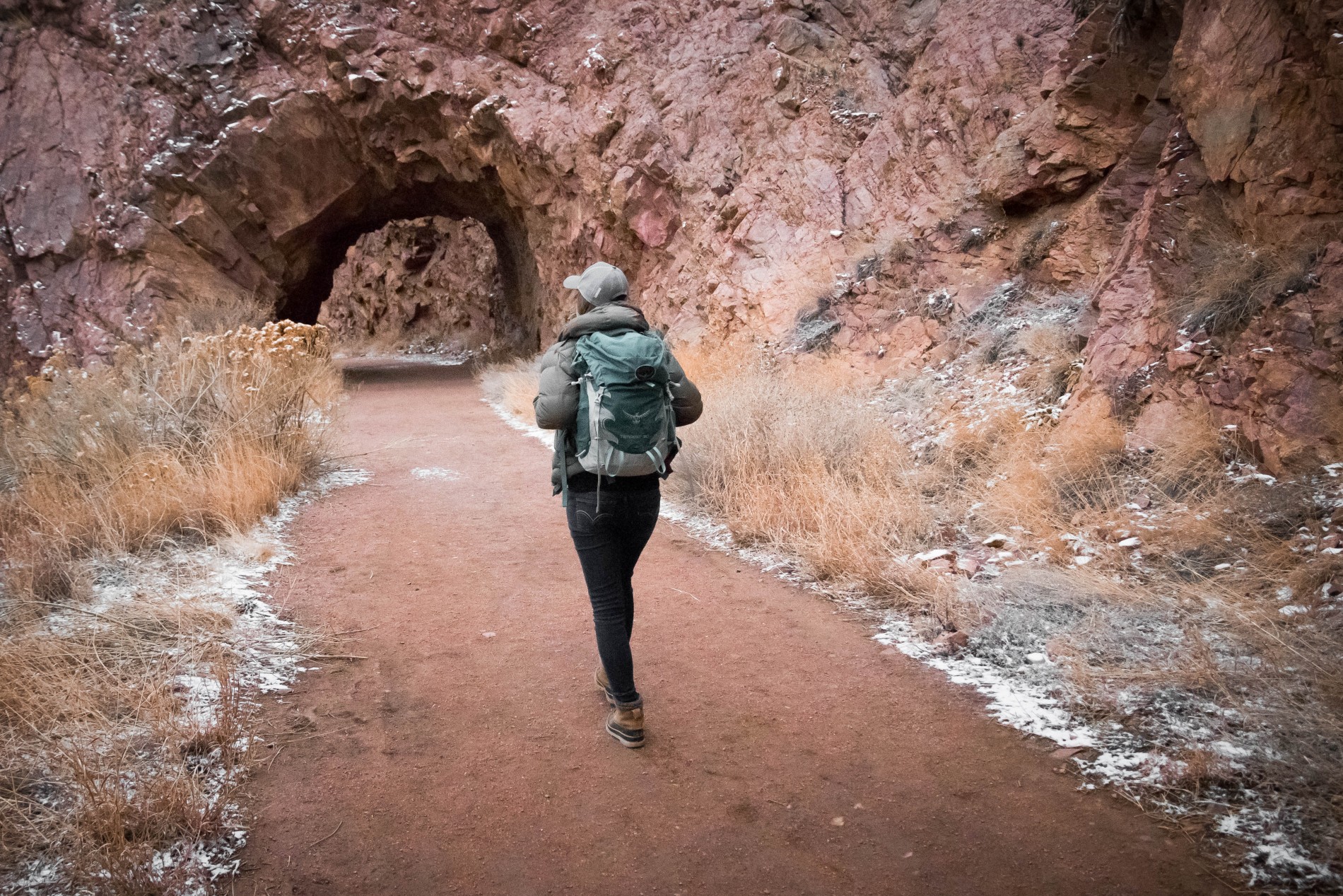
This section of the Arkansas Riverwalk offers stunning views. Pass through historic tunnels (built for the city’s water delivery system in the late 1800s), and view the historic Denver & Rio Grande Railroad. You may also catch a glimpse of river runners as they make their way from the Royal Gorge. Keep your eyes open for Colorado’s state mammal: the bighorn sheep, but please keep your distance and respect wildlife.
Download the GPX file for Tunnel Drive Introductory Route RWGPS
Royal Cascade Advanced Route
This trail is advanced and rated as a double-black diamond. It is best ridden with a shuttle parking one care at the tunnel drive parking lot, and the other car at East Ridge Campground.
Download the GPX file for Royal Cascade Advanced Route RWGPS
Before riding trails, please check trail conditions at joinFAR.org. Please observe right-of-way etiquette and yield to hikers and equestrian riders. Help keep the Royal Gorge Region trails beautiful by observing all stewardship principles, including packing out any waste or trash, staying on the trail, and avoiding all wildlife. Give back to local trails by visiting local businesses that participate in the ‘1% for Trails’ program. Learn more.
Introductory = Pink
Beginner = Green
Intermediate = Blue
Advanced = Black
When visiting The Royal Gorge Region, we kindly ask that you Keep it Gorgeous by following the 7 Care for Colorado Leave No Trace Principles.
- Know Before You Go.
- Stick To Trails.
- Leave It As You Find It.
- Trash the Trash.
- Be Careful With Fire.
- Keep Wildlife Wild.
- Share Our Parks & Trails.
- 30Jan 20170
- 30Jan 2017
- 17Mar 2017
- 02May 2017

- 14Nov 2017
- 19Dec 2017

- 16Jan 2019
- 22Jun 2021
